Excursion tips
Geopark
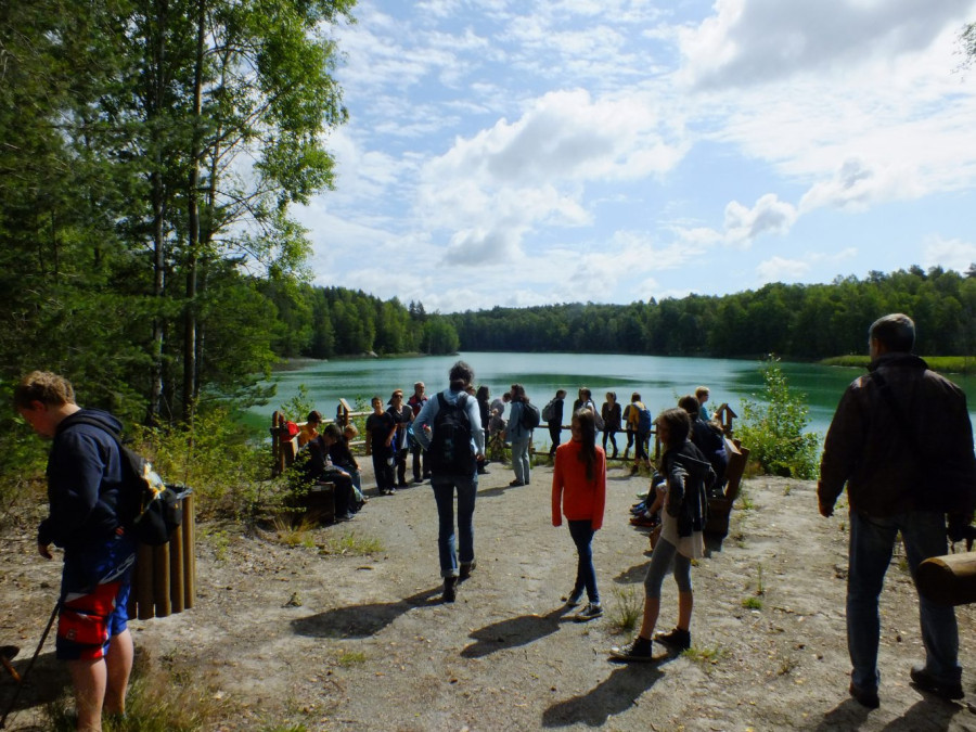
The Muskau Arch is considered to be one of the most beautifully shaped compressive moraines in Central Europe. In 2015, the cultural and old mining landscape was officially awarded the status of a UNESCO Global Geopark. It runs in the form of a large horseshoe across the border from Brandenburg via Saxony to Poland. The Neisse River flows right through it, cutting up to 30 meters deep into the land. The mining of raw materials left behind a large number of attractive lakes in the area, some of which shimmer in beautiful colors.
Around 340,000 years ago, when thick masses of ice pushed southwards from Scandinavia, a glacier in what is now Lusatia compressed the subsoil to a depth of 300 meters. Layers that were originally horizontal were folded and raised. In the process, lignite, clay and glass sands came up from the depths. Dry, sandy plateaus alternate with wet and marshy depressions.
European Park Association
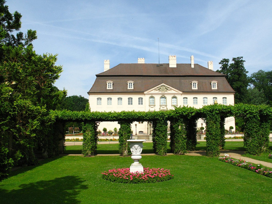
The European Park Association Lusatia was founded in 2010 for the Pückler parks in Bad Muskau and Branitz as well as the Brühl Palace Park in Brody/Pförten and the East German Rose Garden in Forst (Lusatia). The aim is to preserve historical heritage and develop it regionally through joint projects. This includes publications and exhibitions, for example on the enmity between Frederick the Great and Count Brühl.
The park association is regarded as a model German-Polish cooperation project and aims to gradually expand in order to make it easier to experience the shared European history in the Saxon, Brandenburg and Lower Silesian regions. The network is therefore set to grow to include the Rhododendron Park in Kromlau (link), the Altdöbern Park, the park in Neschwitz and the parks in Zatonie (Günthersdorf) and Zagan (Sagan).
Upper Lusatian Heath and Pond Landscape (UNESCO Biosphere Reserve)
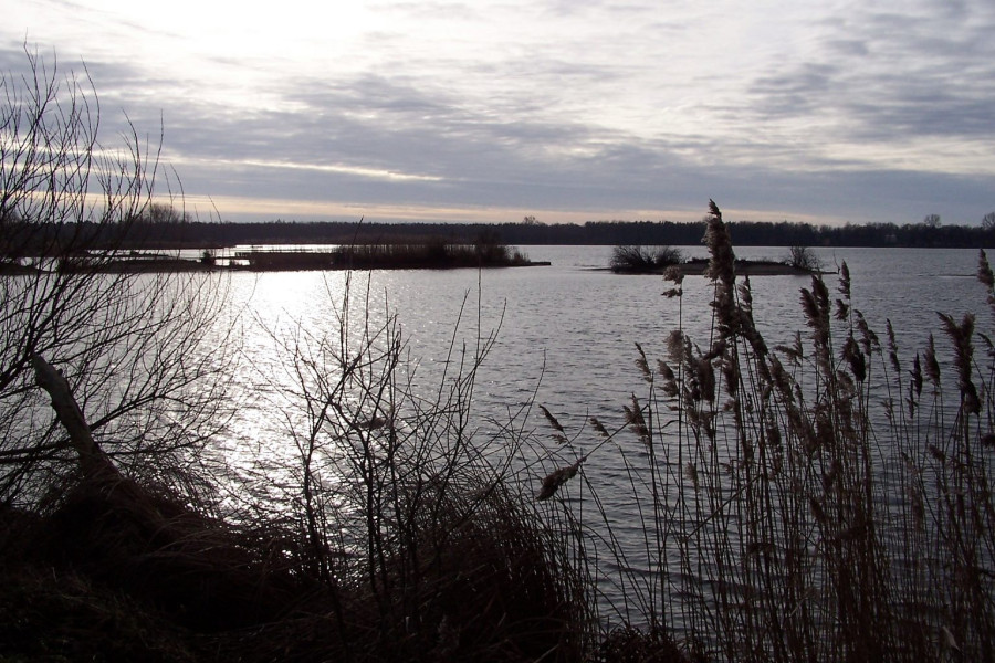
The largest contiguous pond landscape in Germany begins southwest of Bad Muskau. The water-rich area between Kamenz and Niesky is therefore also known as the land of a thousand ponds. Since the 13th century, the waters have been used primarily for rearing carp. Around 30,000 hectares of the landscape have been under special protection since 1994: as a UNESCO biosphere reserve. It is the only one in the Free State of Saxony. More than 5,200 plant and animal species feel at home in the area, including some that are considered endangered. These include the white-tailed eagle, otter, crane, woodlark and marsh harrier.
In Wartha, the center of the Upper Lusatian Heath and Pond Landscape Biosphere Reserve, a visit to the House of a Thousand Ponds is highly recommended. A multimedia exhibition is dedicated to pond farming and, in particular, the rearing of carp throughout the seasons. The nature trail through the Guttau ponds begins not far from the visitor and information center.
Upper Lusatian League of Six Cities
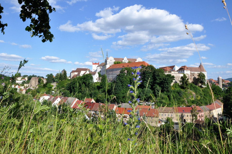
Bautzen, Kamenz, Löbau, Görlitz, Zittau and Lauban (today Luban in Poland) came to economic and cultural prosperity through a strong alliance: the Upper Lusatian League of Six Towns. Sealed in 1346, it lasted almost half a century. The towns had joined forces in order to be armed against predatory attacks by the landed gentry. Löbau acted as the seat of the convention, where delegates from the six alliance partners met regularly.
Magnificent town halls and town houses, medieval-looking alleyways, richly decorated churches and fortifications still characterize the historic towns today. Many traces of their eventful history can be discovered there.
Glassmaking city Weißwasser
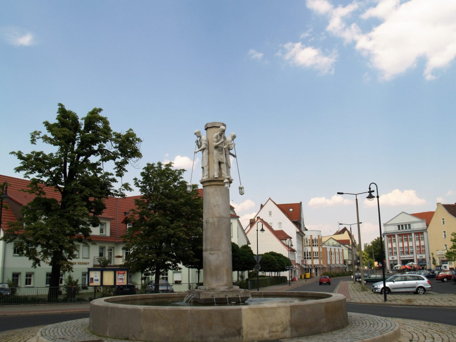
Weißwasser grew up with fragile goods. From the end of the 19th century, the town developed into a stronghold of the glass industry. The glassmaking fountain directly in front of the train station is a reminder of this tradition. A visit to the glass museum is recommended to trace the special industrial history of the town. Among other things, visitors can gain an insight into the work of the famous product designer Wilhelm Wagenfeld. The Bauhaus student was the artistic director of the Vereinigte Lausitzer Glaswerke in Weißwasser.
The zoo and the baths at Jahnteich, the Muskau forest railroad and the ice arena are further attractions for visitors to the town, where two companies continue the tradition of the glass industry today.
Spreewald (UNESCO biosphere reserve)
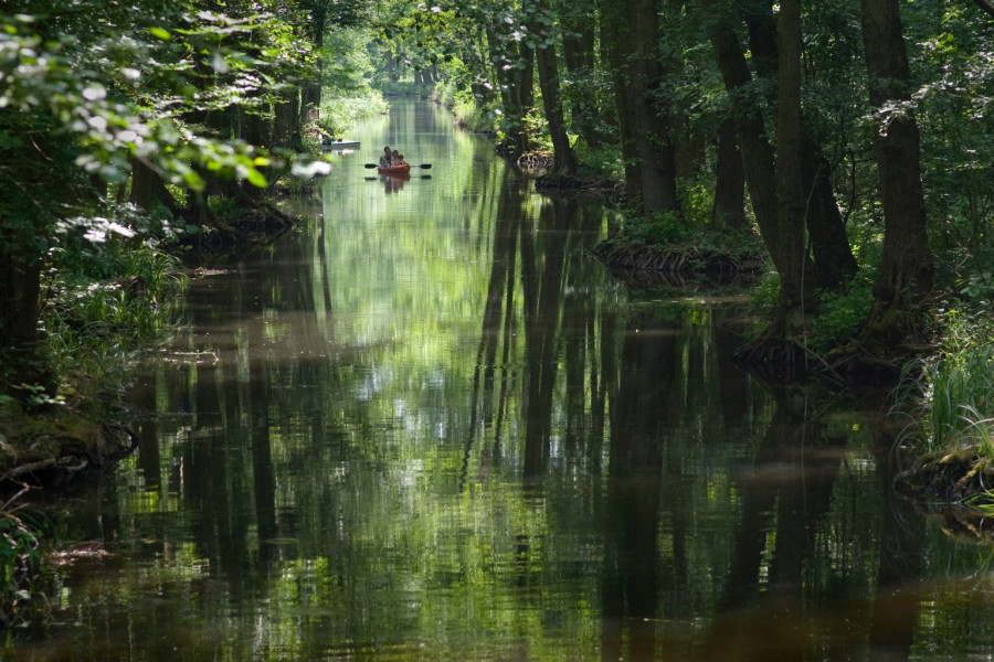
A good hour's drive northwest of Bad Muskau is the Spreewald. One of the region's special features is its intricate network of rivers with a total length of 1,500 kilometers. The river arms typical of the Spreewald were formed during the last ice age. The charming floodplain landscape provides a protected habitat for around 5,000 animal and plant species, including rare species such as the fire-bellied toad, white-tailed eagle, green mosaic dragonfly and otter. The old alder stands as well as the extensive wet meadows and moors are home to numerous plant species such as sundew, marsh spurge, cranberry and cotton grass.
Around 47,500 hectares of the Spreewald have been placed under special UNESCO protection. A wealth of information about the biosphere reserve is available at three visitor centers: the Haus für Mensch und Natur in Lübbenau, the Alte Mühle in Schlepzig and the Schlossberghof Burg.
Upper Lusatia by bike
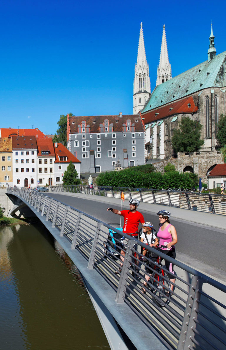
Muskauer Park is located directly on the Oder-Neisse cycle path, one of five supra-regional cycle routes that run through Upper Lusatia. These include the Spree Cycle Path, which leads all the way to Berlin, and the Frog Cycle Path. Cyclists also cross at least the border to Brandenburg on the Lower Lusatian Mining Tour or the Lakeland Route.
There are also a number of themed routes, such as the Sea Eagle Circular Route or the Sorbian Impressions Route. The Krabat circular route in the triangle of towns between Hoyerswerda, Kamenz and Bautzen follows in the footsteps of one of the most famous Sorbian legendary figures.
Kromlauer Park
The landowner Friedrich Hermann Rötschke (1805 - 1893) had his land in Kromlau redesigned from 1844. Native and exotic trees and shrubs were planted there, including weeping beeches, 30-metre-high tulip trees, magnolias, trumpet trees, false cypresses and plane trees. Thousands of rhododendrons and open-air azaleas grew in the swamps. In spring, they provide a colorful sea of flowers that is unparalleled in Germany in terms of size and beauty.
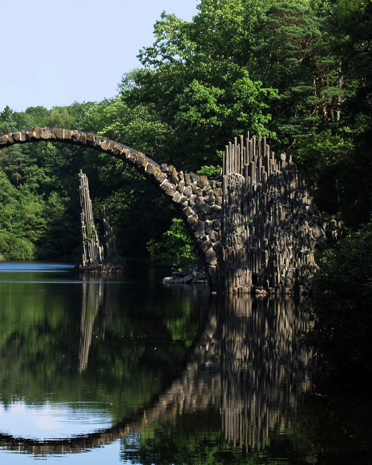
The charming park in the district of Gablenz covers around 200 hectares. The Rakotzbrücke bridge is a particular eye-catcher. It was built between 1863 and 1882 from basalt and fieldstone. At 35 meters long, the imposing arched bridge spans the Rakotzsee lake. It forms a full circle in the mirror of the water surface, making it probably the most famous photo motif in Kromlau Park. Buildings such as the Old Castle and the Kavaliershaus date back to the middle of the 19th century.
Erlichthof Rietschen
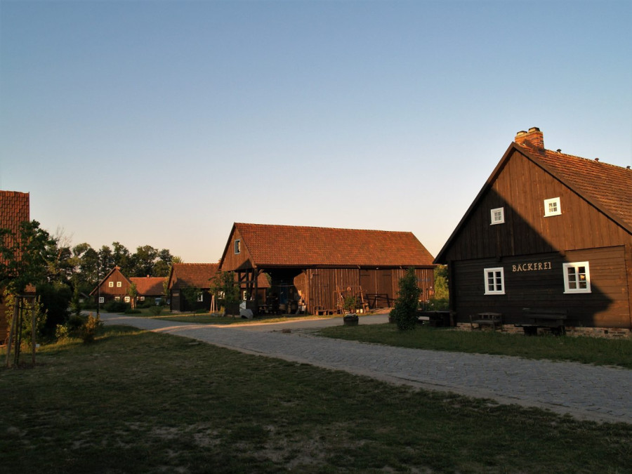
The rustic timber-framed houses on the outskirts of Rietschen look homely and cozy. Most of the buildings in the small settlement originate from villages that had to make way for lignite mining. The buildings, which are up to 300 years old, were carefully dismantled and rebuilt true to the original at the Erlichtteich pond in Rietschen.
The Erlichthof was the first to open as a museum in 1994. The exhibition in various buildings of the farmstead documents the former life of the heath farmers. The estate includes more than 20 timber-framed buildings, including a nature and tourist information center, wolf barn, stone oven bakery, weaving house, ceramics barn and farm store.
The charming ensemble demonstrates a unique construction method. The bark of the trees selected to build the house was cut three years before felling. The resin was able to collect in the trunk, thus preserving the wood in a natural way. The trunks were later roughly shafted with a shot axe. This is where the houses got their name from. The heath farmers laid the square-cut beams on top of each other without doweling and sealed them together with a layer of fern, moss and felt.
Nochten Erratic Park
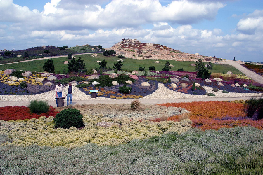
Around 7000 geological heavyweights form a landscape garden in the Boxberg district of Nochten that is unique in Europe: the Lusatian erratic boulder park. The Nochten open-cast lignite mine and the Boxberg power station frame the 20-hectare site. This also highlights the connection to mining, where the stones that give the park its name were found.
The weighty boulders arrived in Lusatia during the Ice Age. Huge masses pushed their way across the land from Scandinavia and rolled down entire mountain ranges. Some blocks withstood the force, remained as erratic boulders in eastern Saxony and came to light again during coal mining. In Nochten, they were incorporated into the design of the park, which was opened in 2003.
A circular path leads through the heath, rock and pond garden, natural heath and heather moor. The pond was designed along the lines of Asian garden art, of which only one end can be seen when standing on the bank. A geological nature trail takes you on a journey through “Little Scandinavia”. The diverse flora is designed in such a way that something is in bloom almost every season.
Lusatian Lake District
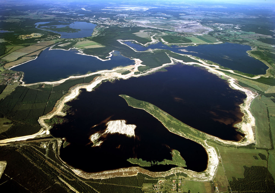
In recent years, numerous former lignite mines between Berlin and Dresden have been transformed into bodies of water. Disused open-cast mines have been flooded to create the largest man-made water landscape in Europe. More than 20 artificial lakes make up this spectacular water world. In future, 10 of them will be connected by navigable canals. The first of these waterways, the Barbara Canal, was opened in 2003 between Lake Geierswald and Lake Partwitz.
Lake Bärwalder See is the body of water in the Lusatian Lakeland that is closest to Muskauer Park. The northern shore is only around 25 kilometers away from Pückler's landscape garden. With its 23-kilometre circular path, a harbour and beautiful bathing beaches, Saxony's largest body of water has long since become a magnet for water sports enthusiasts, cyclists and skaters.
UNESCO 5 - A great heritage
Nowhere else in the world you will find five UNESCO awards in four different categories in such a small area: In constant flux, Lusatia is unique with its cultural and natural heritage that even transcends national borders. UNESCO awards different distinctions to highlight the special nature of a place, a building, a region or tradition.
Lusatia can boast itselfs with five UNESCO awards in these four different categories:
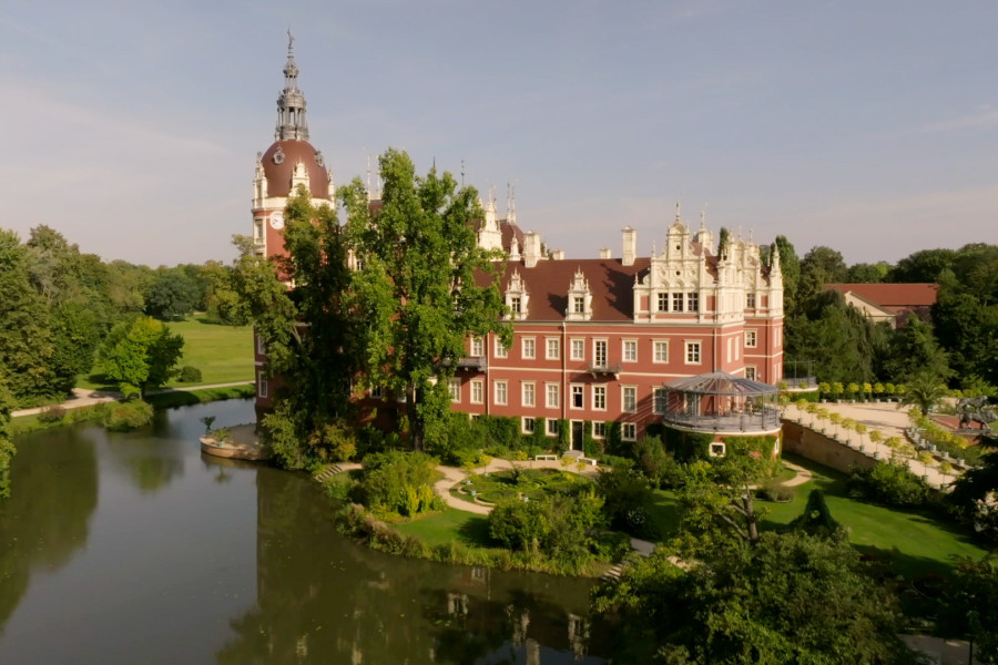
UNESCO World Heritage Site – Muskauer Park/ Park Mużakowski,
UNESCO Global Geopark – UNESCO Global Geopark Muskau Folded Arch/ Łuk Mużakowa,
UNESCO Biosphere Reserve – Spreewald & The Oberlausitzer Heide- und Teichlandschaft,
Intangible Cultural Heritage – The Sorbs and Lusatian Blueprinting.
